Note from Emma, added 27 Mar: Lay by suggested for free car parking has been closed due to all the road works, please ring Emma, 07773 202845 if you would like further suggestions.
Start: Rifleman's Pub, Greenside, Kendal, LA9 4LD
Start time: 10am
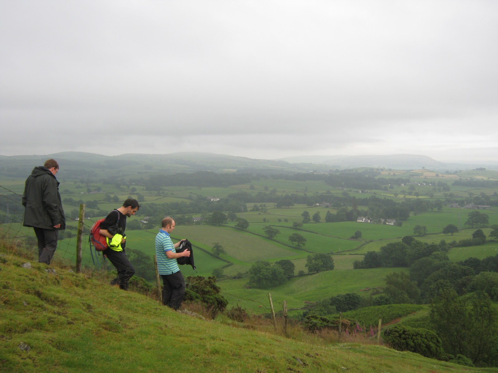
Distance: 20 miles
Lunch at Wilf's Cafe, Staveley
Steady pace, with some hills
Contact Emma for further details 07773 202845, (parking is permit only in this area, if you want free parking I would suggest the layby, just off Plumgarths roundabout, turning off the A591 onto the Winderemere road, A5284 and its on the left - distance from start point 1.5 miles).