
Tuesday, 29 March 2011
Sunday, 27 March 2011
Sun 27 Mar 2011 - Little Ingleborough and Ingleborough
NB - clocks go forward on Saturday night. Make sure you turn up at the right time
Start Point; 10am, Clapham Village North Yorkshire. Grid reference SD746692.(OL2 Yorkshire Dales Southern and Western area)
Plenty of free parking along the wall side of Clapham beck,and up towards the church if busy.
Description; Up through the village and on to the Clapham Estate Nature Trail,small entrance fee of 60p to use this private path but well worth it.Through Trow Gill,Past Gaping Gill,then on to a tough steep climb up Little Ingleborough,then the summit of Ingleborough the highest point of the day (724 metres).Then down the Horton in Ribblesdale path on the breast of Simon fell,following the bridal way heading past Norber Erratics and Robin Proctors Scar and eventually back to Clapham.Tea room next the cars.
Distance; around 11 miles.
Time; 6 hours.
Grade; 3
Leader Peter 07884408269.
Tuesday, 22 March 2011

Sunday, 20 March 2011
Sun 20 Mar 2011
Troutbeck Tongue
Directions; From windermere take the A592 road to Church lane bridge, just past the bridge is a small lane with free parking by the beck. GR NY411026
Time; 4 hours including breaks
Start time; 10:00
Distance; 12km (7.7 miles) 360m accent
Grade 2 good easy paths with a short steep descent
Leader: Matt 07878352150
Friday, 18 March 2011
Friday 18th March - Social: Pizzas at Brewery
Social at Brewery. Table booked for 7.30. No preorder needed if you are having a pizza. Options for starters and dessert can decide on the day. Please confirm you are coming by weds 16th as restaurant need to know.
text or email Claire D to confirm coming for pizza
07511259791
claireduncan@rocketmail.com
text or email Claire D to confirm coming for pizza
07511259791
claireduncan@rocketmail.com
Sunday, 13 March 2011
Sun 13 Mar - Lingmoor
Start Point: Elterwater Bridge National Trust Car Park (grid ref - NY 328 048) @ 10.00
Description: Elterwater / Lingmoor Fell / Blea Tarn / Blea Moss / Little Langdale / Slater Bridge / Howe Bank / Elterwater
A mid-height walk (max. height gain - only 340m) following the ridge between Great Langdale and Little Langdale, along to the very picturesque Blea Tarn & (if the weathers O.K.!) perfectly reflected views of the Langdale Pikes.
Then it's down into Little Langdale for the quieter (away from Great Langdale!) wander back (+ Three Shires Inn?)
Distance: 9 miles (14.5 km)
Total Ascent: 455m (1500 ft.)
Time: 4 - 5 hours
Grade: 3
Leader: Dan (on 01229 832840 [eves.] or 07919 831237)
Saturday, 12 March 2011
Sat 12 March - Pudding and Planning meeting
If you can't make it to the meeting, but would still like to lead a walk, please email details and possible dates to emmakdavies@yahoo.co.uk
Pudding and Planning - Saturday 13th March
Pudding and Planning - Saturday 13th March
Time - 7pm
Venue - Vicky and Howard's house - please email/text for directions if necessary
Please bring a pudding and ideas about walks etc you would like to lead.
Contact - Vicky (07835 416262 or vickycouper@yahoo.co.uk)
Monday, 7 March 2011
Sunday, 6 March 2011
Sun 6 Mar - Caw/Walna Scar
Description: This walk will visit some of the quieter fells to the South-West of Coniston. We will start by ascending Caw, then heading along the ridge to Walna Scar before descending via the Walna Scar road.
Start Point: Car park on minor road from Torver to Broughton Mills, grid ref SD252927. NB there are two car parks marked on the map about 500 m apart. We will be starting from the more North-Easterly one (towards Torver).
Start Point: Car park on minor road from Torver to Broughton Mills, grid ref SD252927. NB there are two car parks marked on the map about 500 m apart. We will be starting from the more North-Easterly one (towards Torver).
Saturday, 5 March 2011
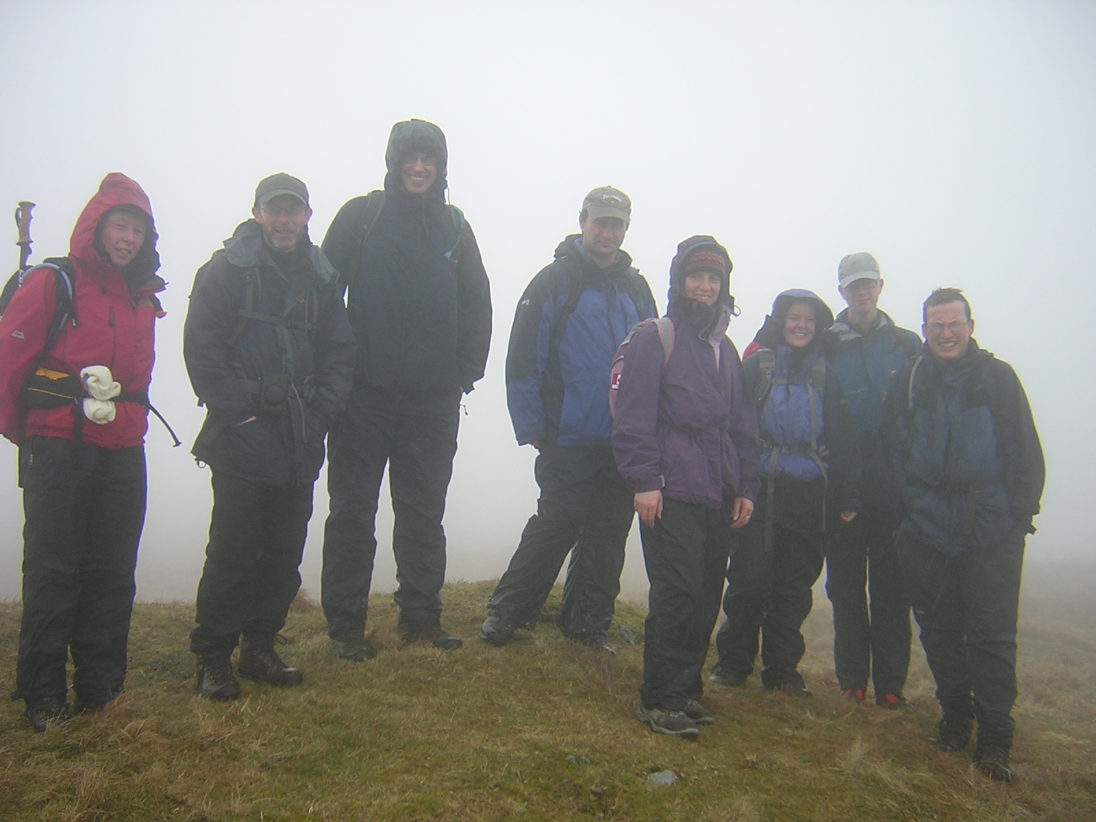
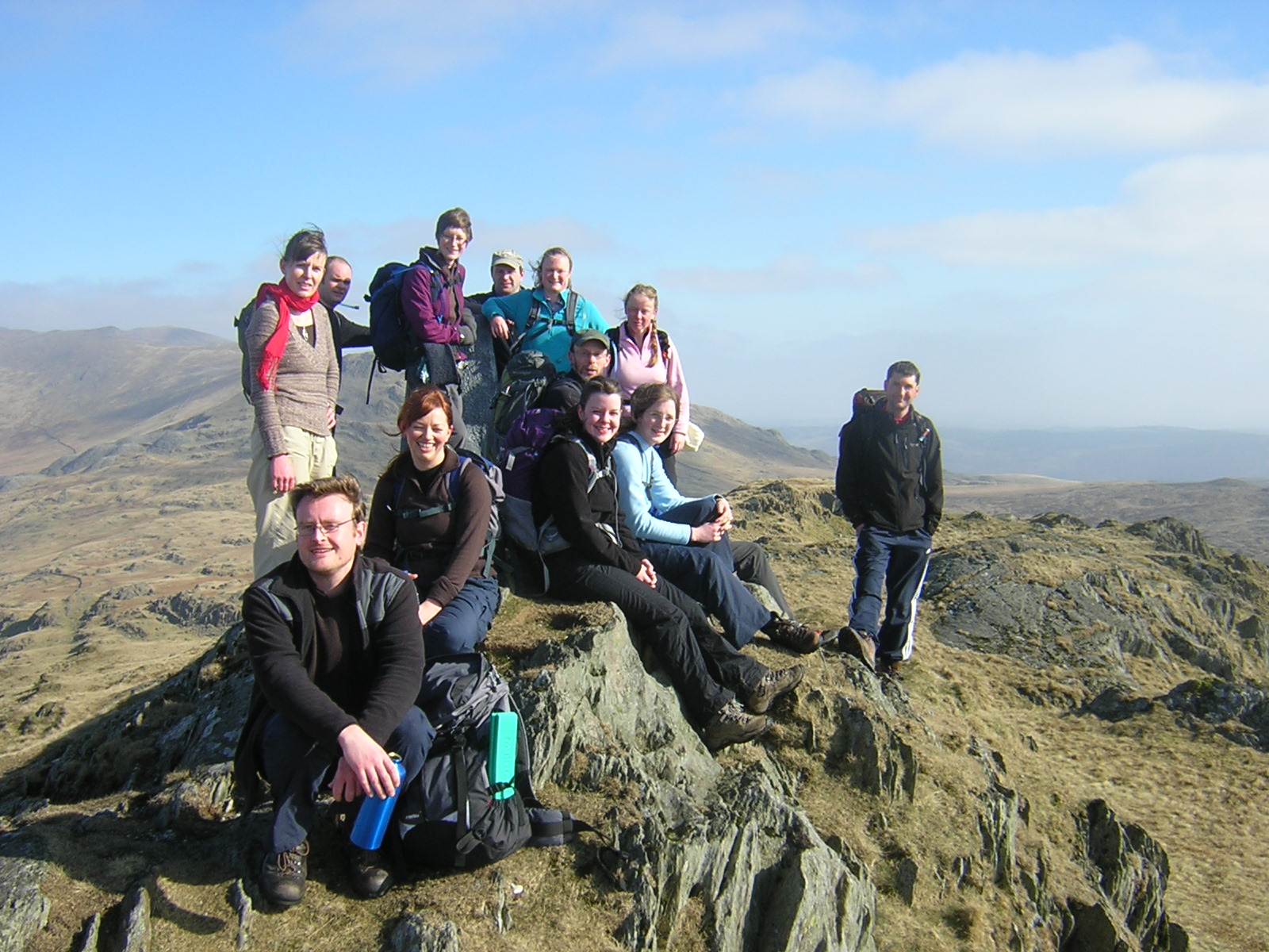
Photos from Bow Fell
A little late, but here are Alister's photos from Clare A's Bow Fell walk from a couple of weeks ago.


Subscribe to:
Posts (Atom)